


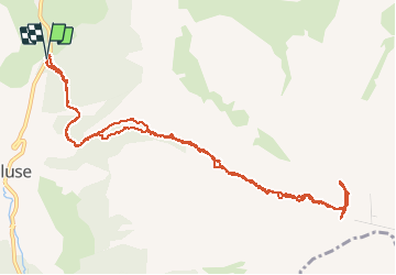

8,5 km | 15,9 km-effort

Benutzer GUIDE


Kostenlosegpshiking-Anwendung
 SityTrail
IGN / Geografische Institute
SityTrail World
Die Welt öffnet sich für Sie
Tour Skiwanderen von 13,9 km verfügbar auf Provence-Alpes-Côte d'Azur, Hochalpen, Le Dévoluy. Diese Tour wird von nadd73 vorgeschlagen.
Départ en bas du col de Festre.
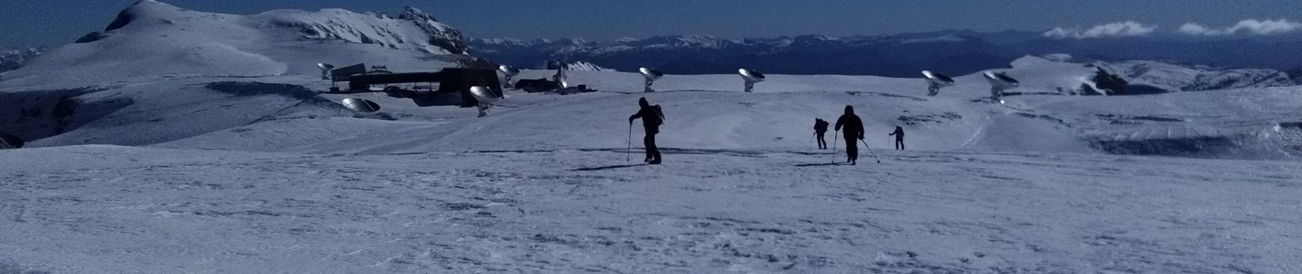
Passage étroit raide 40•. Crampons et couteaux nécessaires.
Beaucoup de vent comme souvent.
un trentaine de chamois


Wandern

Wandern

Wandern

Wandern

Wandern

Wandern

Wandern

Wandern

Wandern